Parts of New York state have been buried under relentless lake-effect snow that has crushed buildings, collapsed roofs and left residents to dig themselves out.
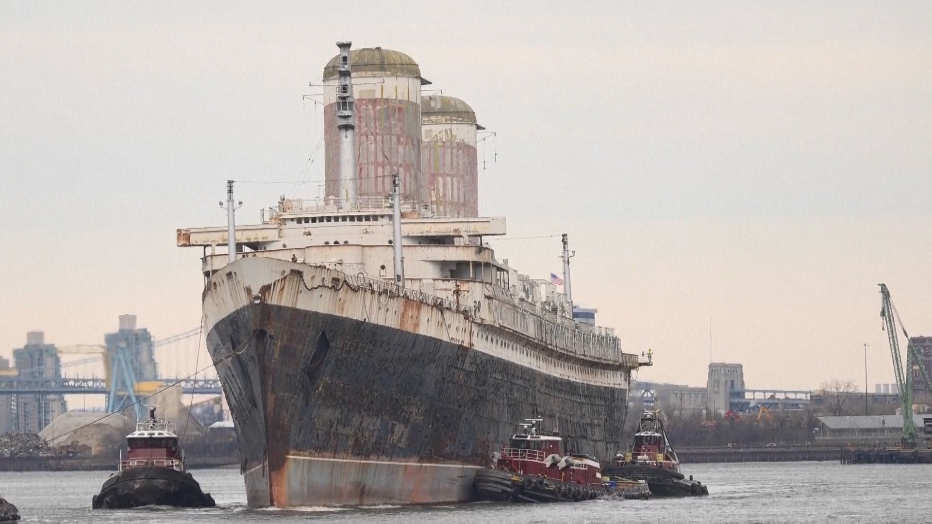
The SS United States is heading south – first to Mobile, Alabama, then to Okaloosa County, Florida, where she’ll be sunk off the Gulf Coast to become the world’s largest artificial reef. Okaloosa County is home to 500 other artificial reefs, and officials are hoping that the 990-foot ocean liner becomes a tourist attraction for divers as well.
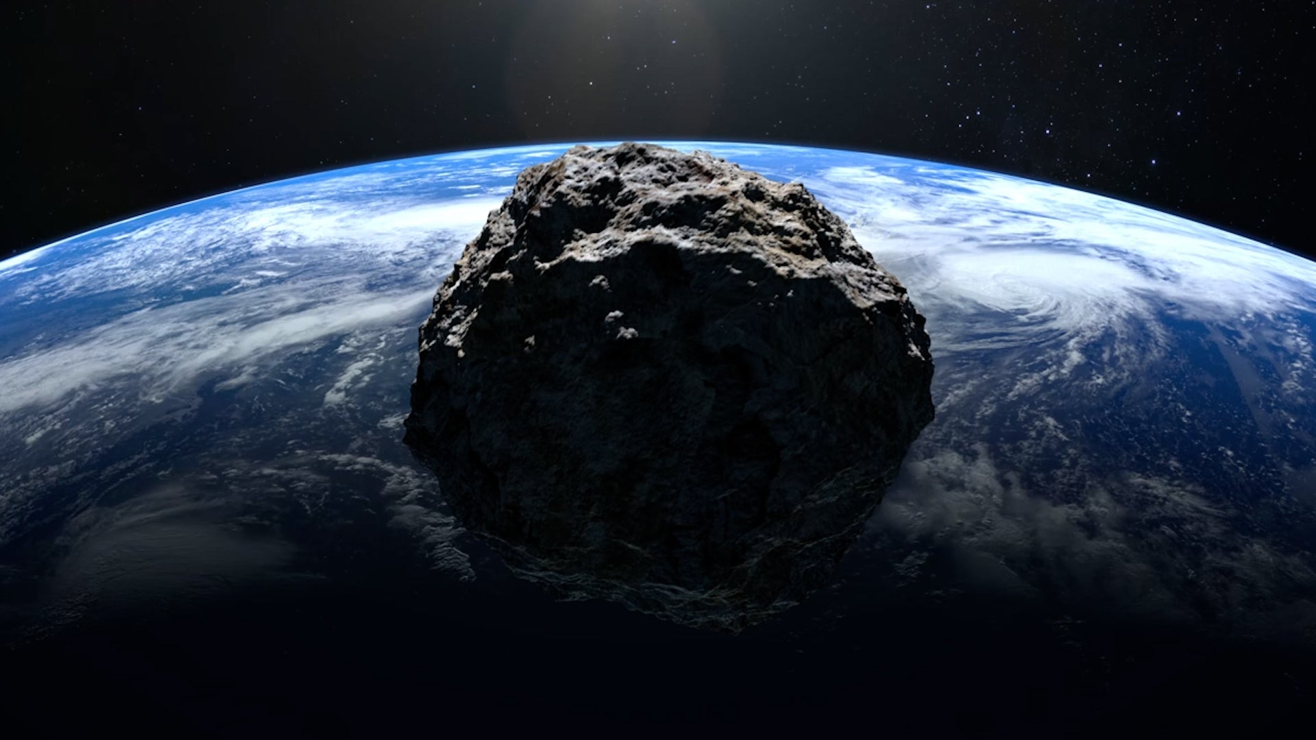
An asteroid discovered in December and named YR4 has a small chance of hitting Earth in 2032. But scientists keep changing the odds. We asked an expert to break it down for us.
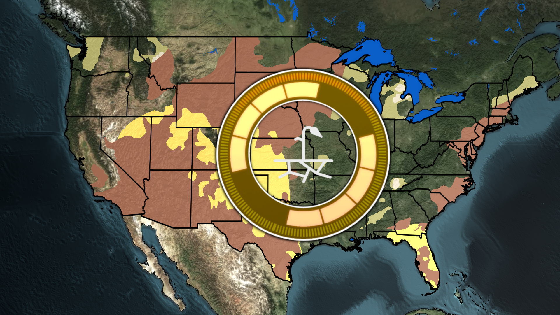
NOAA has released their seasonal drought outlook and is expecting a substantial drought expansion in parts of the Southern Plains. Increasing drought is expected for states like Oklahoma, Kansas, Texas, New Mexico, Colorado, Utah, Nevada, Georgia & Florida. Here is what is expected.
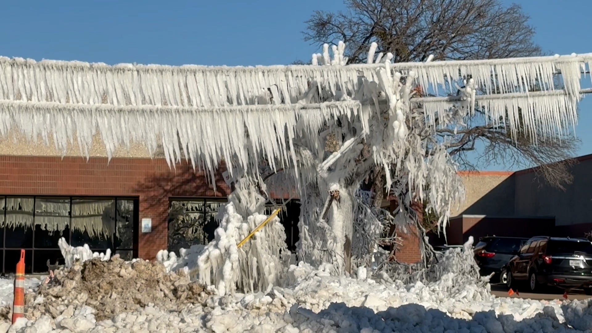
This Dallas suburb felt the brunt of a cold snap when this street was suddenly transformed into something bizarre and icy. So what exactly happened on this frigid day? Watch this video to find out how this week’s arctic blast played a role.